-260719-4-edited.png)
Working Principle of 3D Laser Scanners
3D laser scanning technology, also known as reality capture technology, represents a technological revolution in surveying following GNSS technology. It breaks through the limitations of traditional single-point measurement methods, offering unique advantages of high efficiency and high precision.
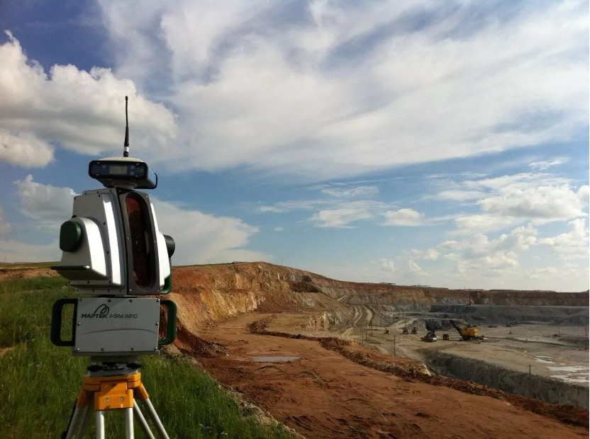
A 3D laser scanner is an automated rapid measurement system combining a non-cooperative laser rangefinder with an angular measurement system. It performs fast scanning measurements of objects in complex field environments and spaces, directly acquiring the horizontal direction, zenith distance, slant distance, and reflectivity of the object surface contacted by the laser points. These data are automatically stored and calculated to generate point cloud data. After computer processing, this point cloud data can be rapidly reconstructed into 3D models of the measured objects, along with various drafting data such as lines, surfaces, solids, and spatial configurations, when integrated with CAD software.
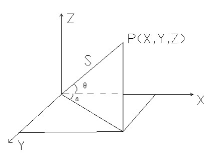
The principle of point cloud coordinate measurement is illustrated below. The 3D coordinates of the measured point cloud are defined within the left-handed coordinate system established by the 3D laser scanner. The XOY plane represents the horizontal scanning plane, with the Z-axis perpendicular to this plane.
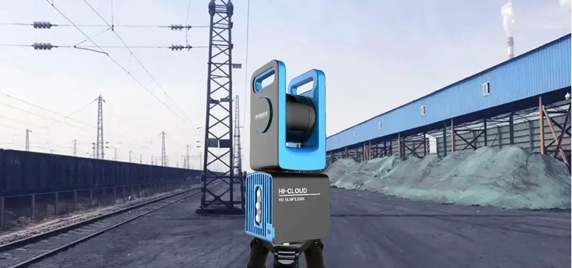
The ground-based 3D laser scanning system primarily consists of three components: the scanner, the controller, and the power supply system. The laser scanner itself mainly includes a laser ranging system and a laser scanning system, while also integrating a CCD and internal instrument control and calibration systems.
The raw observation data from the laser scanning system includes not only two angular values and one distance value, but also the reflectance intensity I of the scanned point, which is used to assign colors to the reflected points. When stitching scan data from different stations, transformations using common points are required to unify the data into a single coordinate system. Spherical targets or black-and-white target markers are commonly used as these common points.
Point cloud data is stored in a proprietary internal format, requiring specialized vendor software for reading and processing. An excellent point cloud data processing software should feature capabilities such as 3D point cloud image editing, scan data stitching and merging, 3D spatial measurement of image data points, point cloud visualization, 3D spatial data modeling, texture analysis and processing, and data conversion.
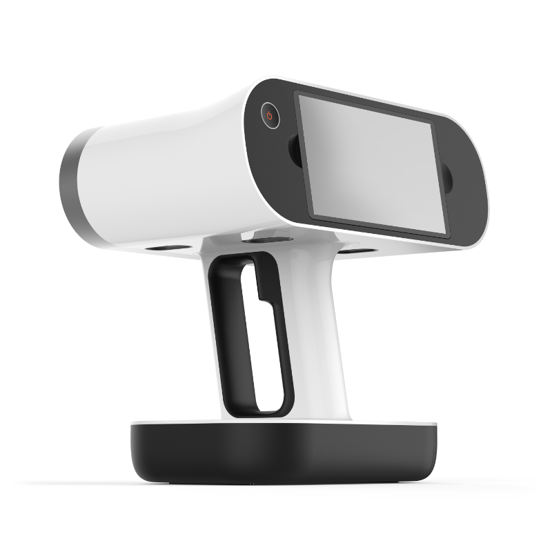
3D laser scanning technology has also seen extensive experimentation, application, and exploration in fields such as cultural heritage preservation, architecture, urban planning, civil engineering, factory retrofitting, interior design, building monitoring, traffic accident investigation, legal evidence collection, disaster assessment, ship design, digital cities, and military analysis. Based on their mounting platforms, 3D laser scanning systems can be categorized into airborne, vehicle-mounted, ground-based, and handheld types.
Battery Maintenance for 3D Laser Scanners
3D laser scanners require high-capacity lithium batteries, such as TEFOO’s GS2057DH standard lithium-ion battery pack (internal link). It is important to note that as lithium battery capacity increases, so does its inherent self-discharge rate. Therefore, after prolonged storage of the instrument, the battery should be removed, recharged, and stored.
Otherwise, after a period without charging (typically three months), the battery will automatically enter a dormant state, maintaining a low self-discharge rate. Reactivation is required before reuse.
This reactivation process is both time-consuming and potentially damaging to the battery. We therefore recommend that during storage, users remove the instrument every two weeks, operate it for half an hour using the internal battery, and then fully recharge the battery before returning it to storage.